

Hiking
There are dozens of miles of hiking trails, especially in Land Between The Lakes.

![]() > Things To Do
> Trails
> Hiking
> Things To Do
> Trails
> Hiking
Hiking in the Kentucky Lakes Area
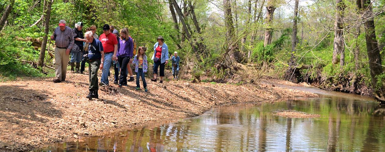
The Kentucky Lakes Area offers dozens of miles of hiking trails for anyone to enjoy. The majority of these trails are located in the Land Between The Lakes. In LBL, you'll find paved trails, dirt trails, easy trails, and strenuous trails. Here is a list and description of trails in LBL.
Central Hardwoods Scenic Trail
This new trail runs roughly parallel of US 68 / KY 80 in LBL. 2.5 miles of the eastern portion from Lake Barkley to near the former site of Golden Pond has been paved. The other 8.5 miles is gravel and runs from the former site of Golden Pond to near Kentucky Lake at Fenton. There are several access points and features 12 bridges along the trail. Eventually plans are to connect this trail with the bike/walk paths across the new Kentucky & Barkley Lakes bridges, which are currently under construction.
Length: 11 miles
Rating: Easy to Moderate
Trail Map - Location
Honker Trail
Located near The Nature Station in the heart of the Environmental Education Area, this trail winds around Honker Lake through a variety of habitats: dense forest, meadows, and along the lakeshore. Be sure to watch for our resident flock of Giant Canada Geese which nest in the area and give the trail its name!
Length: 4.5 miles
Rating: Moderate
Trail Map - Location
Hematite Lake Trail
Located near The Nature Station, this easy walk around Hematite Lake offers a chance to see migratory waterfowl and other wildlife. Bring a picnic to enjoy at one of our picnic tables at the trail head.
Length: 2.2 miles
Rating: Easy to Moderate
Trail Map - Location
Woodland Walk
An easy, wooded trail winding through the forests and along the shoreline of Honker Lake. Enjoy a picnic at the trail head's picnic shelter!
Length: 1.0 mile
Rating: Easy
Trail Map - Location
Center Furnace Trail
Embarking from the ruins of the Center Iron Furnace near The Nature Station, this easy walk is marked with interpretive signs, offering a glimpse of the bustling industry that thrived in the region 150 years ago.
Length: 0.3 miles
Rating: Easy
Trail Map - Location
Long Creek National Recreation Trail
Located near The Nature Station, this paved trail is accessible to visitors with physical disabilities.
Length: 0.2 mile paved
Rating: Easy
Trail Map - Location
North South Trail
Take the grand tour! This trail spans the entire length of LBL and ranges from rugged, hilly terrain in the north to more smooth hiking in the south. Portions are accessible from The Trace for those wishing to hike a section of the trail.
Length: 65 miles
Rating: Moderate to Strenuous
Elevation change: 200 feet
North Trail Map - South Trail Map - Location
Fort Henry National Recreation Trail
Located in the south end of LBL, Fort Henry is a system of 10 connecting trails totaling 26 miles. The trail follows closely the route of General Grant's troop movements from Fort Henry to Fort Donelson during the Civil War.
Length: 26 miles
Rating: Moderate
Elevation change: 100 feet
Trail Map - Location
Canal Loop Trail
In the north end, this series of connecting trails provides walks ranging from 1.5 miles to 14 miles. One of the most popular trails, because it offers spectacular lake views and the opportunity for short walks.
Length: 14 miles
Rating: Easy to Moderate
Elevation change: 80 feet
Trail Map - Location
Hammond Creek Trail at Lee Jones Park
This trail system is 7.9 miles and is open for mountain biking and hiking. Featuring an elevation change of about 100 feet, this system is heavily wooded with streams and a variety of trail conditions. The park is located in Eddyville.
Length: 7.9 miles
Rating: Easy to Moderate
Elevation change: 101 feet
Trail Map
Other Lakes Area Trails
- Calvert City Greenway - Calvert City - Trail Map
- Grand Rivers Hiking Trail - Grand Rivers - Location
- Clarks River Wildlife Refuge Trails - Benton - Location
- Grand Rivers Trail - Grand Rivers - Location
- Murray-Calloway County Park Trails - Murray - Location
- Prayer Trail at Ponderosa Baptist Church near Cadiz, KY - Location