
Navigation Charts & Aids
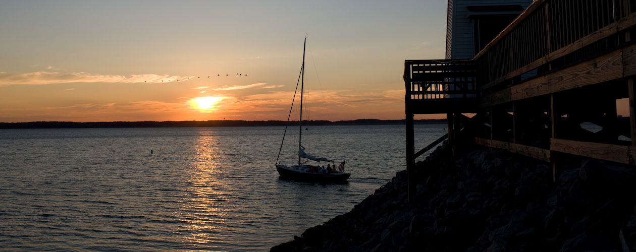
Sunset on Kentucky Lake. Photo by Marty Colburn.

![]() > Boating
> Charts
& Aids
> Boating
> Charts
& Aids
Navigation Charts & Aids for Kentucky Lake, Lake Barkley
Here you will find the most recent navigational charts produced by the US Army Corps of Engineers. All files are downloadable PDFs.
Tennessee River
Below Kentucky Dam
Kentucky Lake
- 4 - Kentucky Dam & Grand Rivers
- 4A - Barkley Canal and LBL
- 5 - Little Bear Creek
- 6 - Duncan & Sugar Bay
- 7 - Kenlake State Park
- 8 - Reed Hollow & Snipe Creek
- 89 - Jonathan Creek
- 9 - Ginger & Clay Bay
- 90 - Blood River
- 10 - Hughes & Panther Bay
- 91 - Big Sandy River
- 92 - West Sandy Creek
- 11 - Paris Landing State Park
- 12 - Robbins & Short Creek
- 13 - Hurricane Creek & Bass Bay
- 14 - Whiteoak Creek & Turkey Creek
- 15 - Richland Creek & Harmon Creek
- 16 - Trace Creek & Beaver Dam Creek
- 17 - New Johnsonville & Birdsong
- 18 - Eagle Creek
- 93 - Duck River (downstream)
- 94 - Duck River (upstream)
- 19 - Cuba Landing & Interstate 40
Cumberland River
Below Barkley Dam
Lake Barkley
- 5 - Barkley Lock & Dam
- 6 - Kuttawa & Eddyville
- 49 - Hammonds & Lick Creek
- 7 - Drydens Creek
- 50 - Eddy Creek
- 8 - Rockcastle Point
- 51 - Little River
- 9 - Canton, KY
- 10 - Donaldson Creek
- 11 - Bumpus Mills Recreaton Area
- 12 - Blue Creek
- 13 - Dover, TN
- 14 - South Cross Creek
- 15 - Cumerland City, TN
Navigation Aids
On Kentucky and Barkley Lakes, you'll see the uniform system of buoys and markers that are standard throughout the United States. These buoys and markers are placed for your assistance and safety. In addition to written messages on the buoys, there are a variety of colors, shapes and symbols which aid in the recognition of a particular buoy. It's a good idea to take some time and study the diagram showing how the buoys may be used. This information is courtesy Tennessee Wildlife Resources Agency.
A. Diver's Flag: Must be used any time a diver is in the water. Boats must not come closer than 50 feet of the flag and must operate at a slow, no-wake speed within 200 feet.
B. Alpha Flag: Means a vessel is engaged in diving operations or is restricted in its ability to navigate. Boaters must use extreme caution and are advised to look for a diver's-down flag.
C. Mooring Buoys: Means an anchor buoy. This is the only buoy to which a boat may tie or secure to.
D. Red Channel Marker Buoy: Traveling upstream, you should pass to the left of this buoy as it marks the right side of the channel.
E. Green (or black) Channel Marker Buoy: Traveling upstream, you should pass to the right of this buoy as it marks the left side of the channel.
F. Junction Buoy (RED OVER GREEN): means two channels are coming together and you pass to the left of the buoy as you travel upstream.
G. Junction Buoy (GREEN OVER RED): means two channels are coming together and you should pass to the right of the buoy as you travel upstream.
H. Boats Keep Out Buoy: Marks a swimming area, area near a dam, or any area where boats are not allowed.
I. Danger Buoy: Marks an obstruction, ferry cable, or any area where boats should not navigate or should use extreme caution.
J. Information Buoy: Used to relay information. Words printed in black (usually inside the border) tell place names, distances, directional arrows, availability of supplies, gasoline, etc.
K. Control Buoy: Marks a restricted area such as "slow no-wake," 5 MPH, no skiing or no fishing.
L. Passing Daymark (RED): A sign mounted on poles in the water or on the bank which is used in the same manner as a channel marker buoy. In this case it marks the right side of the channel as you travel upstream.
M. Passing Daymark (GREEN): A sign mounted on poles in the water or on the bank which is used in the same manner as a channel marker buoy. In this case it marks the left side of the channel as you travel upstream.
N. Channel Crossing Daymark (RED): A sign mounted on poles in the water or on the bank which means the channel is crossing from the right bank to the left bank as you travel upstream.
O. Channel Crossing Daymark (GREEN): A sign mounted on poles in the water or on the bank which means the channel is crossing from the left bank to the right bank as you travel upstream.