


Current Weather
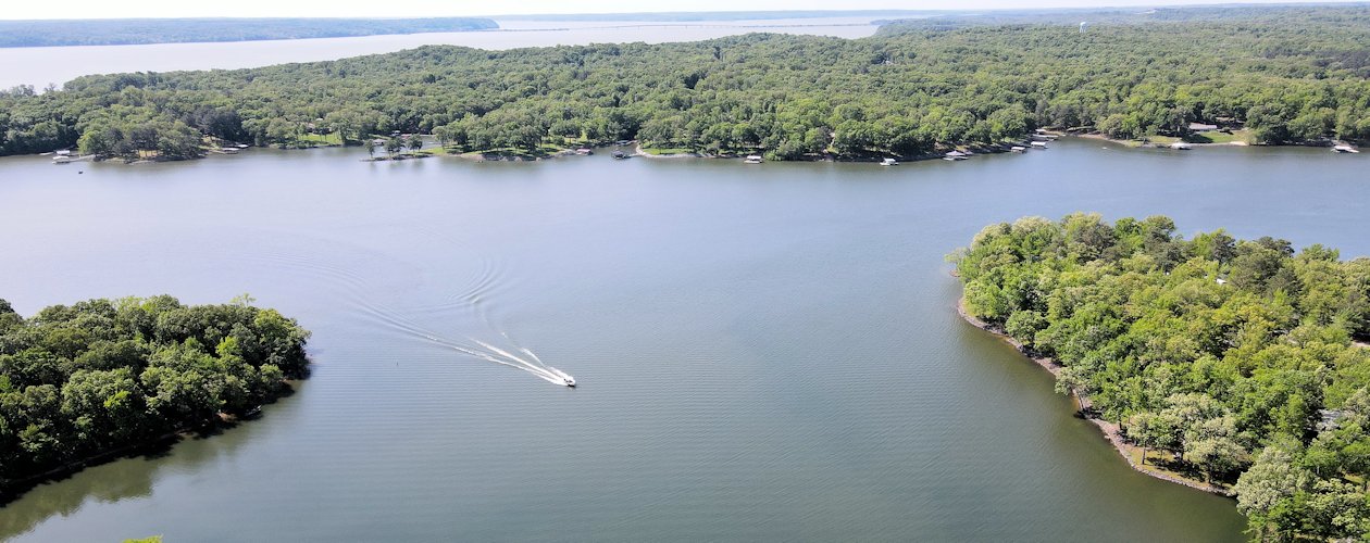
Cypress Creek on Kentucky Lake.


![]() > Weather
> Weather
Current Conditions
Right Now: Mostly Cloudy

91°
Feels Like 103°
Wind
Southwest 8 mph
Dewpoint: 75°
Humidity: 59%
Barometer: 29.96"
Visibility: 10.00 mi.
Current Conditions at Kyle-Oakley Field in Murray, Ky.
Last Update on Jul 6 2025, 4:35 pm CDT
Kentucky Lake 7-Day Forecast
Forecast issued at 4:32 pm CDT Jul 6, 2025
This Afternoon Slight Chance T-storms

92°
A 20 percent chance of showers and thunderstorms. Sunny, with a high near 92. Southwest wind around 7 mph.
Tonight Slight Chance T-storms then Slight Chance Showers
72°
A slight chance of showers and thunderstorms before 10pm, then a slight chance of showers between 10pm and 1am. Partly cloudy, with a low around 72. Southwest wind around 5 mph becoming calm in the evening. Chance of precipitation is 20%.
Monday Chance T-storms and Patchy Fog then T-storms Likely
90°
A chance of showers, then showers and thunderstorms likely after 10am. Patchy fog before 7am. Otherwise, mostly sunny, with a high near 90. Calm wind becoming west around 6 mph in the morning. Chance of precipitation is 60%.
Monday Night Chance T-storms then Chance Showers
72°
A 30 percent chance of showers and thunderstorms, mainly before 1am. Partly cloudy, with a low around 72. Light and variable wind.
Tuesday Slight Chance T-storms then T-storms Likely
89°
Showers and thunderstorms likely, mainly between 1pm and 4pm, then showers likely and possibly a thunderstorm after 4pm. Partly sunny, with a high near 89. Calm wind becoming west southwest around 6 mph in the afternoon. Chance of precipitation is 60%.
Tuesday Night Chance T-storms

72°
A 30 percent chance of showers and thunderstorms. Mostly cloudy, with a low around 72. Light south southwest wind.
Wednesday Chance T-storms then T-storms Likely
87°
Showers and thunderstorms likely, mainly after 1pm. Mostly cloudy, with a high near 87. Calm wind becoming southwest around 6 mph in the afternoon. Chance of precipitation is 70%.
Wednesday Night Chance T-storms
71°
A chance of showers and thunderstorms. Mostly cloudy, with a low around 71. Light southwest wind.
Thursday Chance T-storms then Showers Likely
86°
A chance of showers and thunderstorms, then showers likely and possibly a thunderstorm after 1pm. Mostly cloudy, with a high near 86. Calm wind becoming west southwest around 6 mph in the afternoon.
Thursday Night Chance T-storms

71°
A chance of showers and thunderstorms, mainly before 1am. Partly cloudy, with a low around 71. Calm wind.
Friday Chance Showers then Chance T-storms
89°
A chance of showers and thunderstorms. Mostly sunny, with a high near 89. Southwest wind 3 to 7 mph.
Friday Night Chance T-storms
73°
A chance of showers and thunderstorms. Partly cloudy, with a low around 73. South southwest wind 3 to 5 mph.
Saturday Chance T-storms
90°
A chance of showers and thunderstorms. Mostly sunny, with a high near 90. West southwest wind 5 to 8 mph.
Saturday Night Chance T-storms

70°
A chance of showers and thunderstorms. Mostly cloudy, with a low around 70. Southwest wind around 5 mph becoming calm in the evening.
Sunday Chance T-storms

89°
A chance of showers and thunderstorms. Partly sunny, with a high near 89. West southwest wind 3 to 7 mph.
Forecasts are from the National Weather Service.