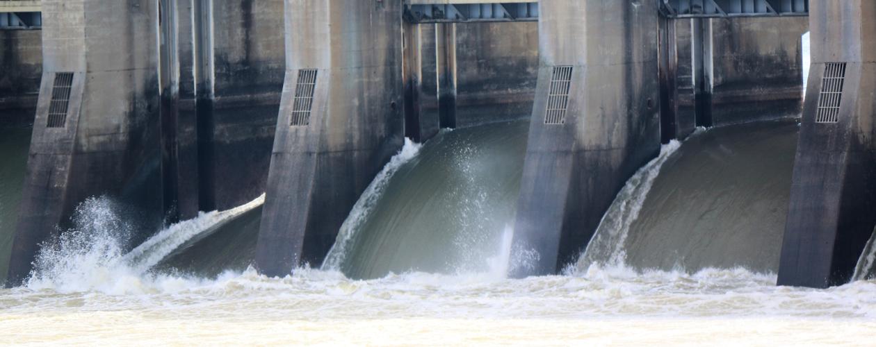
Kentucky Lake & Lake Barkley Forecast
| Forecast | Kentucky Upper | Kentucky Flow (cfs) | Barkley Upper | Barkley Flow (cfs) |
|---|---|---|---|---|
| Today 4:00pm | 358.2' | 358.3' | ||
| 10:00pm | 358.2' | 20,900 | 358.4' | 6,300 |
| Sat 5/2 4:00am | 358.4' | 15,100 | 358.4' | 6,300 |
| 10:00am | 358.5' | 7,000 | 358.5' | 6,300 |
| 4:00pm | 358.5' | 13,930 | 358.5' | 6,300 |
| 10:00pm | 358.4' | 20,900 | 358.5' | 6,300 |
| Sun 5/3 4:00am | 358.5' | 19,730 | 358.5' | 6,300 |
| 10:00am | 358.6' | 7,000 | 358.6' | 6,300 |
| 4:00pm | 358.5' | 13,930 | 358.5' | 6,300 |
| 10:00pm | 358.5' | 20,900 | 358.5' | 6,300 |
| Mon 5/4 4:00am | 358.6' | 19,730 | 358.6' | 6,300 |
| 10:00am | 358.7' | 7,000 | 358.7' | 6,300 |
| 4:00pm | 358.7' | 13,930 | 358.7' | 6,300 |
| 10:00pm | 358.7' | 20,900 | 358.8' | 6,300 |
| Tue 5/5 4:00am | 358.7' | 19,730 | 358.7' | 6,300 |
| 10:00am | 358.7' | 7,000 | 358.7' | 6,300 |
| 4:00pm | 358.8' | 13,930 | 358.8' | 6,300 |
| 10:00pm | 358.8' | 20,900 | 358.8' | 6,300 |
| Wed 5/6 4:00am | 358.5' | 19,730 | 358.6' | 6,300 |
| 10:00am | 358.5' | 7,000 | 358.6' | 6,300 |
| 4:00pm | 358.6' | 13,930 | 358.6' | 6,300 |
| 10:00pm | 358.6' | 20,900 | 358.6' | 6,300 |
| Thu 5/7 4:00am | 358.6' | 19,730 | 358.6' | 6,300 |
| 10:00am | 358.6' | 7,000 | 358.6' | 6,300 |
| 4:00pm | 358.5' | 13,930 | 358.5' | 6,300 |
| 10:00pm | 358.5' | 20,900 | 358.5' | 6,300 |
| Fri 5/8 4:00am | 358.6' | 19,730 | 358.6' | 6,300 |
This data is usually updated twice daily and is provided by the TVA River Forecast Center.


