


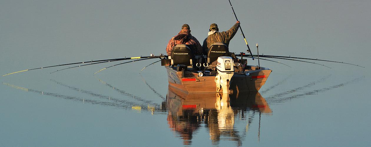
Fishing 101
Kentucky Lake and Lake Barkley are two of the best fisheries in the United States.

![]() > Fishing
> 101
> Fishing
> 101
Fishing 101
Welcome to Fishing 101. With professional anglers providing their expertise, Fishing 101 is perfect for those who are new to Kentucky Lake and Lake Barkley.
Fishing 101: Largemouth and Smallmouth Bass
Brandon Hunter is an expert bass fisherman on Kentucky Lake. Whether you are a local angler, tournament angler, or coming to the lakes for vacation, one must have an understanding of our lakes before getting started.
This article will provide you with as much information about the lake and to help you get the most out of your time. This is Bass Fishing 101, written by Brandon Hunter.
Fishing 101: Crappie
On Kentucky and Barkley Lakes, you will encounter a wide variety of both game and non-game species. It will be in your best interest to be able to identify each of the following species, their characteristics, and how to approach fishing for them. Doug Wynn explains in Crappie Fishing 101.
Fishing 101: Catfish
There are several types of catfish in Kentucky Lake. Doug Wynn explains how you can fish for Blue, Channel, White, and Flathead Catfish in Catfish Fishing 101.
Fishing 101: Panfish
Bluegill and Redear Sunfish, also known as "Shellcrackers", are a popular target for anglers in the spring months. Doug Wynn discusses how you can target these species in Panfish Fishing 101.
Fishing 101: How to Measure
Professional guide Rodney Hairgrove shares with our staff writers about how to properly measure your catch to make sure it is a legal keeper.
Fishing 101: Bank Fishing
Want to go fishing but don't have a boat? No problem! We talk with guide Rodney Hairgrove and discusses how you can bank fish on Kentucky Lake and Lake Barkley.
Fishing 101: Bowfishing
Bowfishing is a popular and growing sport, especially with the increasing population of Asian carp. We talk with Zac Crutcher about how you can experience bowfishing on Kentucky Lake and Lake Barkley.
Fishing 101: The Asian Carp Issue
While it's no secret Asian carp have infiltrated our fisheries, in this guide we talk about how Asian carp got here, what they do, and solutions to reduce the impact of their presence. We also talk about how Asian carp's effect on fishing has been greatly exaggerated.