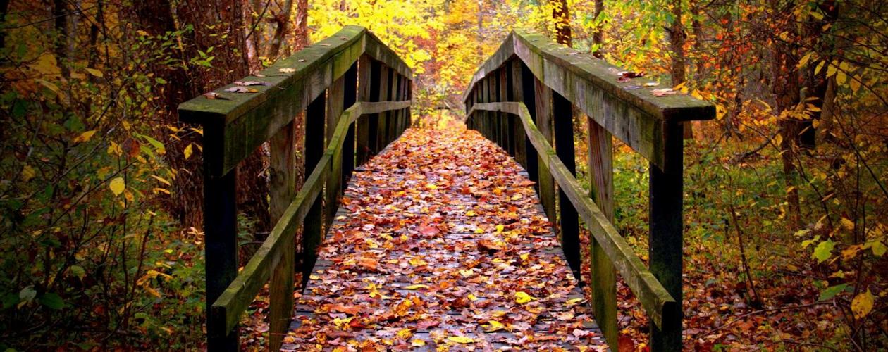
Explored: April 4, 2003 by Shawn Dunnaway
We like to call it "the forgotten treasure" - the St. Stephen
Church in the Land Between the Lakes. Historically significant
because it is only one of a handful of the known original
remaining buildings in LBL. The church was built in 1900 by
German Americans seeking a place to worship. The final service
was held in 1945. For the next 18 years, the church sat vacant
next to the church's cemetery.
In 1963, when TVA (Tennessee Valley Authority) began acquisition of land between Kentucky Lake and the soon-to-be Lake Barkley (completed the following year) for the creation of LBL, the church was completely overlooked. Why? We aren't sure, but one of our theories is that the access road to the church from Kentucky 289 was flooded when Lake Barkley was created.
Kentucky 289 and most of the church's original access road is now underwater and pretty much destroyed. However, a cemetery resides there next to the church, a cemetery that people would surely not forget about; so our theory doesn't make much sense. The only way we can back our theory is by the maps at the bottom of the page. Today, LBL Road #415 (which we guess is a relatively new road) is the new access point to the church and cemetery.
The church wasn't forgotten by everyone. In 2000, a group known as "Between the Rivers, Inc." requested permission and was approved by U.S. Forest Service to restore the old church. It was done after nearly 4,000 hours of man labor. You can see the before and after photos below.
The drive down LBL Road #415 is very interesting, too. It is a very windy, hilly, one-lane gravel road that could be, at times, impassible. You probably don't want to take a Lexus down the road, but most of the time most vehicles can get there. The road is about 2 miles long and is accessible by taking Old Ferry Road (LBL Road #117, Old Kentucky 58) to LBL Road #122. If you blink, you'll miss it, but it is a fun road trip to take. When you get there, you will certainly appreciate the church and the effort put into it, as well as the historical significance of the 100-year-old structure.

A photograph of the church prior to restoration.

The road that once led to the church from Kentucky 289
This map shows the area before the creation of Lake Barkley
(dark shaded area)
Although this map does show Lake Barkley, the "map makers" of this particular map simply colored in Lake Barkley over existing roads, towns, cemeteries, etc., so you can clearly see what things looked like before Lake Barkley (it's a prized possession of ours, this map!) This map shows that the access road from old Kentucky 289 (now mostly underwater) to the church was cut off by Lake Barkley. The map below shows a new road that was built sometime after LBL was created to access the church and adjacent cemetery (Road #415). Was this the reason TVA forgot about the church in 1963 during land acquisition? Maybe. And if so, what else was forgotten? Intriguing!
This map from 2003 shows the present-day road to St. Stephen Church.
